About me
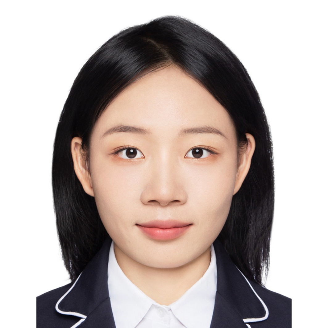
I am a PhD candidate at the Chair of Cartography and Visual Analytics, Technical University of Munich, supervised by Prof. Dr.-Ing. Liqiu Meng and mentored by Dr.-Ing. Peng Luo (MIT Senseable City Lab). Since July 2025 I have also been a doctoral candidate in the EIT Urban Mobility Doctoral Training Network, hosted by TUM’s International Graduate School of Science and Engineering.
Before Munich I earned my M.Eng. and B.Eng. at Wuhan University. My master’s was at the State Key Laboratory of Engineering in Surveying, Mapping and Remote Sensing (LIESMARS), where I worked with Prof. Zhipeng Gui and Prof. Jianya Gong.
Research
My work sits between Geospatial Artificial Intelligence (GeoAI) and spatiotemporal data visual analytics.
- Spatiotemporal memory and intelligence in LLMs, 2025 – present. Lost in Aggregation locates where LLMs get lost in spatial navigation, separating local passability, junction topology and global goal direction across annotated mazes. LLM-MapRepair (ACL 2026) keeps the map an agent builds from piecemeal observations coherent through version-controlled edits and impact-based repairs.
- Hiking behaviour and access to nature, 2024 – present. Building datasets from user-generated GPS, imagery and text to model hiking patterns and assess ecological footprints, and a temporal accessibility index for Bavaria’s trails measured by public transport rather than straight-line distance.
- Map retrieval intention recognition, 2021 – 2024. My master’s research used relevance feedback and geographic semantics to make online geographic resources easier to discover.
Get in touch
Students at TUM: I am currently offering a Master’s thesis on the update dynamics and quality of OpenStreetMap. If you are looking for a topic in GeoAI, LLM agents and spatial reasoning, or hiking and mobility data analytics more broadly, I am happy to talk — send me a short note about what interests you.